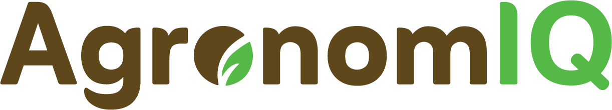

AI/ML-based Agritech Engine
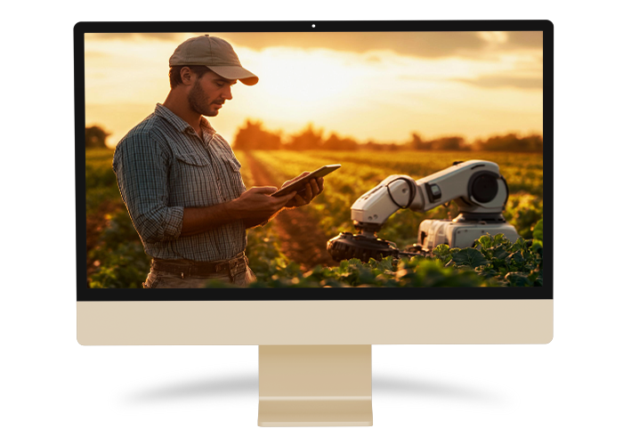
Field Data App (Mobile/Web)
Your Digital Assistant for Streamlined Field Operations
The Field Data App is a robust mobile and web-based solution tailored to optimize field data collection, task management, and monitoring.
- Geotagged and Timestamped Data: Ensure precision and authenticity, even in offline mode.
- Task Management: Assign, track, and monitor activities like scouting, ground-truthing (GT), and crop-cutting experiments (CCEs) in real-time.
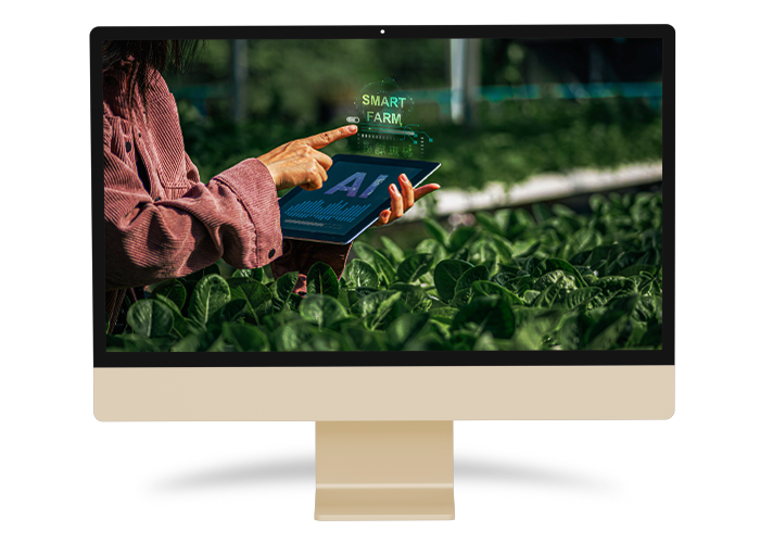
- Interactive GIS-Based Maps: Visualize parcel-level insights and monitor task progress seamlessly.
- In-App AI/ML Analysis: Detect crop health, diseases, and anomalies through image analysis.
- Farmer Digitization: Capture farmer details, link them to their parcels, and use QR-based tagging for enhanced management.
- Centralized Data Syncing: Automatically sync field data to the web dashboard for instant insights and reporting.
- Data Privacy: Role-based access ensures sensitive information is secure.
- Automated Reporting: Export insights on crop health, yield estimations, and field progress in multiple formats.
- IoT Integration: Enrich field data with weather stations, soil sensors, and other IoT devices.
- Cloud-Powered Scalability: Built on a secure cloud infrastructure to ensure performance, scalability, and data security.
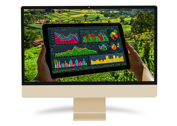
Crop Monitoring Platform
Real-Time Insights at Your Fingertips
Monitor, manage, and optimize crop health and productivity with our advanced Crop Monitoring Platform.
- Vegetation Health Assessment: Analyze NDVI, EVI, and other remote sensing indices to identify stress and detect anomalies.
- Weather Monitoring: Incorporate real-time weather data and forecasts to track climatic impacts like drought, rainfall, and temperature variations.
- Crop Phenology Tracking: Monitor growth stages at the parcel level to detect delays or abnormal development.
- Visualized Insights: Interactive maps display crop health trends, alerts, and phenological data for quick decision-making.
- Advanced Reporting: Generate exportable reports on crop health, yield forecasts, and field activities tailored for diverse stakeholders.
- Azure-Powered Infrastructure: Ensures data security, role-based access, and scalability for large-scale agricultural monitoring.
Predictive Models
AI-Driven Insights for Smarter Farming Decisions
Our predictive models leverage advanced AI/ML techniques to forecast outcomes and optimize farming practices.
- Crop Yield Forecasting: Estimate yields at parcel, district, or regional levels using historical, weather, and remote sensing data.
- Pixel-Level Precision: YesTech models minimize biases in yield predictions across diverse agro-climatic zones.
- Crop Suitability Analysis: Suggest the best crops for specific regions based on soil, weather, and historical trends.
- Soil Fertility Prediction: Forecast soil nutrient levels for efficient fertilizer use and sustainable management.
- Weather Predictions: Use historical and real-time data to predict rainfall, temperature, and extreme weather events.
- Loss Assessment: Integrate computer vision to assess crop losses using field images for insurance claims and risk mitigation.
Farm Advisories and Alerts (Chatbot)
Smart Chatbot for Real-Time Support
The FarmAct Chatbot provides personalized recommendations, advisories, and alerts to empower farmers with critical information.
- Custom Advisory Services: Recommends crop-specific practices based on weather, location, and soil conditions.
- Weather Alerts: Sends real-time updates on rainfall, extreme weather, and temperature changes.
- Pest/Disease Management: Guides on preventive measures and solutions for pest and disease outbreaks.
- Photo-Based Loss Assessment: Analyzes farmer-uploaded images to assess crop losses.
- Multilingual Support: Designed to reach a diverse audience in their preferred language.
Crop Risk Modeling and Rating
Quantify Risks for Better Planning
Our Crop Risk Modeling and Rating Framework helps assess agricultural risks, optimize insurance, and ensure sustainable farming.
- Dynamic Risk Ratings: Categorize risk levels (low, medium, high) based on expected yield loss and economic impact.
- Real-Time Monitoring: Update risk ratings using live weather, remote sensing, and crop health data.
- Spatial Risk Mapping: Visualize vulnerable zones to focus resources and interventions effectively.
- Insurance Optimization: Support parametric insurance schemes with robust data for premiums and payouts.
Discover How We Assist You In Harnessing The Potential Of Geospatial Data